 Altădată
Aerial photo · 1972
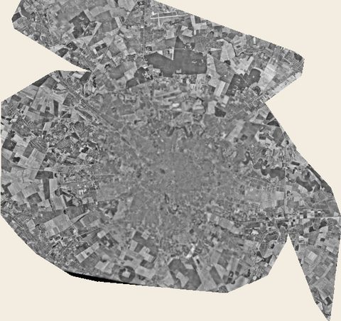
Satellite image 1972
KH-9 Hexagon, USGS
 Open the map ›
High-resolution KH-9 Hexagon image, declassified by the USGS.
Other maps
- Previous map: 1969 · Map of Bucharest 1969
- Next map: 1974 · Cadastral Plan (center)
- Maps of Bucharest