 Altădată
Map · 1846
Borroczyn Plan
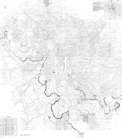
The first cadastral map of Bucharest
 Open the map ›
Surveyed by Major Rudolf Artur Borroczyn on 100 sheets, with the names of the property owners. Sheet 50 (the Piața Unirii area) is missing from both copies and has been reconstructed from the 1852 plan.
- Scale: 1:1,000
- Source: Georeferențiere: romania594.blogspot.com
- Original file
Other maps
- Previous map: 1791 · Ernst Plan
- Next map: 1852 · Borroczyn Plan
- Maps of Bucharest