 Altădată
Map · 1962
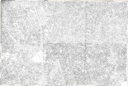
Cadastral Plan (center)
1962–1978, 2 sheets
 Open the map ›
A detailed cadastral plan of the historic center, from before the demolitions of the 1980s.
Other maps
- Previous map: 1943 · Aerial photo 1943
- Next map: 1966 · Satellite image 1966
- Maps of Bucharest