 Altădată
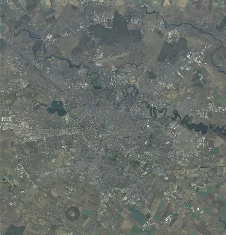
Aerial photo · 2017
Orthophoto 2017
Defence Ministry (MApN / AIGA), 1.5 m
 Open the map ›
The Romanian Defence Ministry's orthophoto, from aerial photographs taken in 2017–2020 at 1.5 m per pixel: today's city, before the latest high-rise blocks.
- Scale: 1:5,000
- Source: Ortofotoplan 1:5000 © MApN / AIGA, CC BY 4.0
Other maps
- Previous map: 2001 · AGC Polonia Plan
- Next map: today · Current satellite
- Maps of Bucharest