 Altădată
Map · ~1940
Artillery Firing Plans
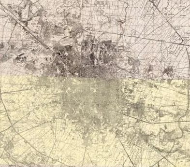
Romanian Army, mosaic of sheets 1916–1950
 Open the map ›
Romanian military topographic maps used by the artillery, showing relief, buildings and railways. The mosaic combines sheets from different editions, so visible seams may appear between them.
- Scale: 1:20,000
- Source: geo-spatial.org / eHarta
Other maps
- Previous map: 1939 · Simboteanu and Moldoveanu Plan
- Next map: 1943 · Aerial photo 1943
- Maps of Bucharest